

唐土名胜图会.初集.6卷.冈田玉山等编绘.日本文化二年刊.1805年
《唐土名胜图会》是一幅画,初集,全六卷(6册),冈田玉山等编绘,日本文化二年刻成,时值嘉庆十年(1805)。
日本人创作于清代的《唐土名胜图》一直被公认为是中日文化交流的十分珍贵图籍。大量的描绘了北京的皇宫和皇宫生活的插图卷集,也称为中国大清朝的百科全书。
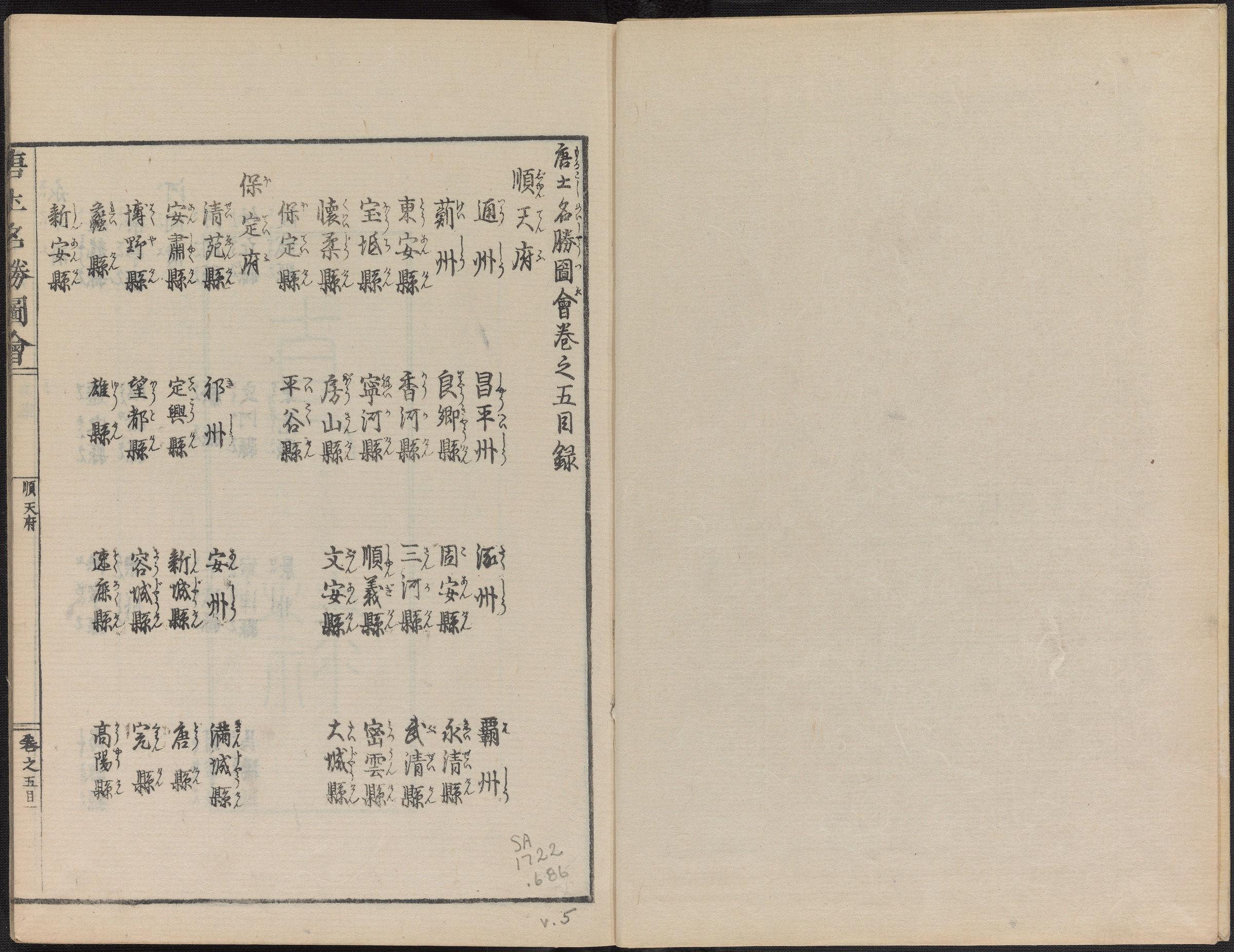
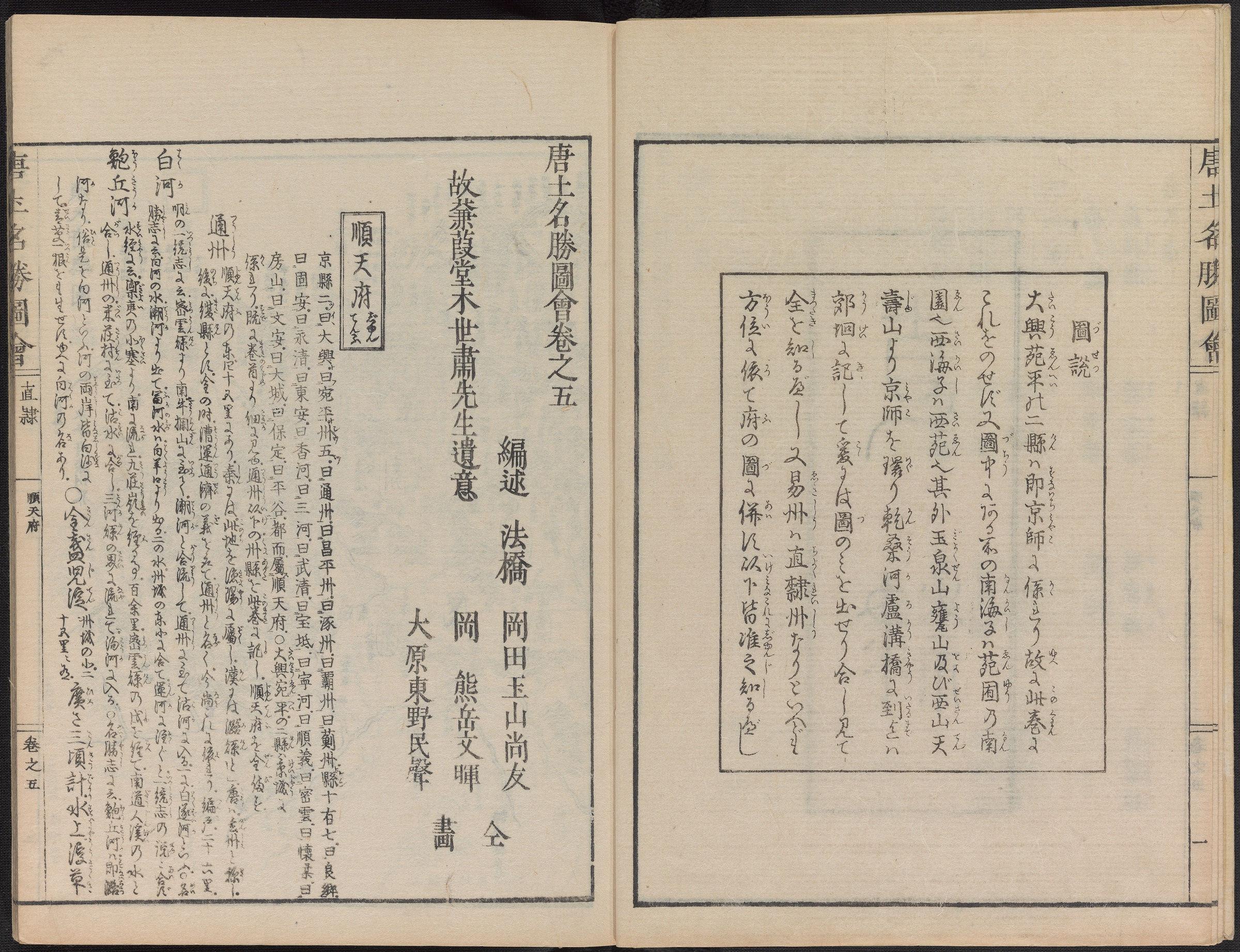
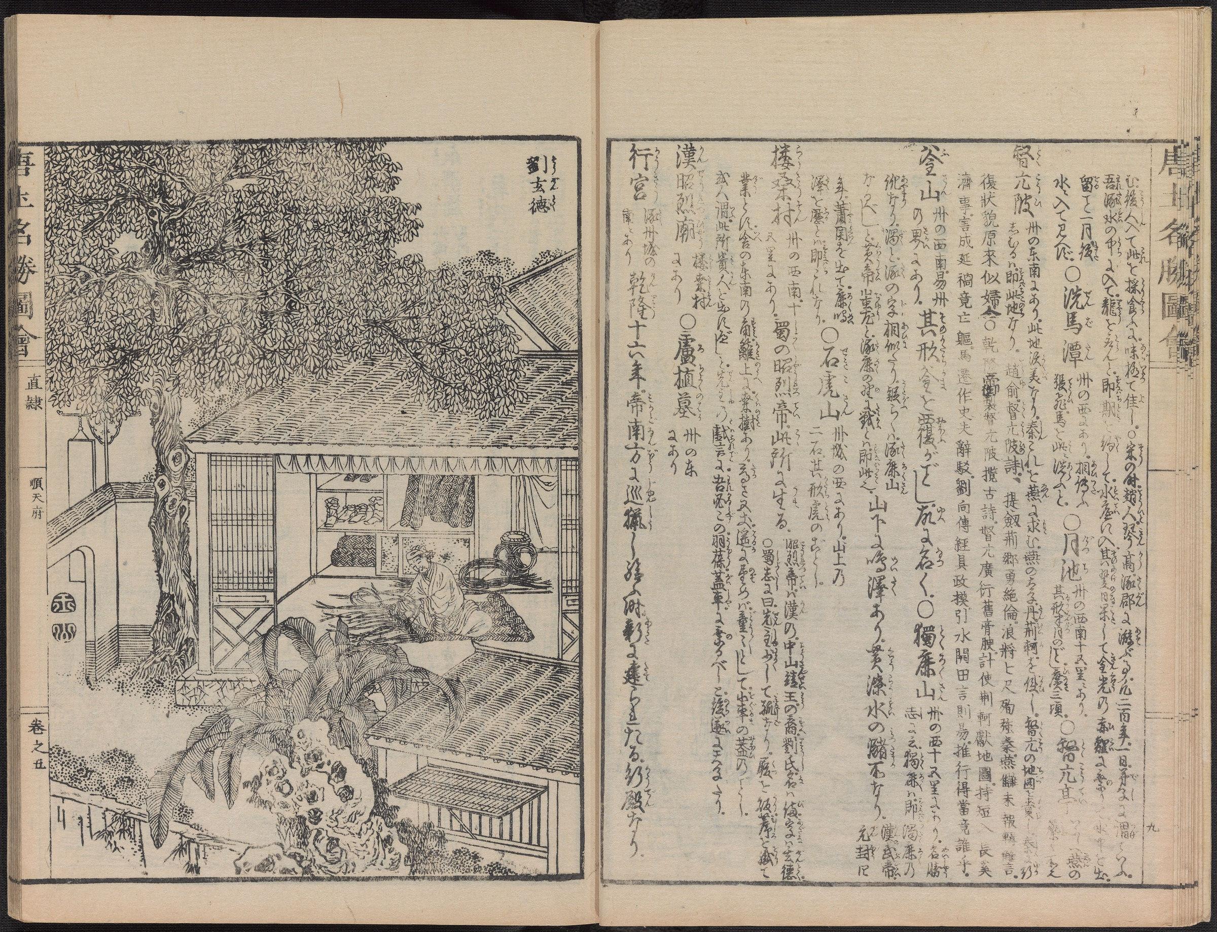
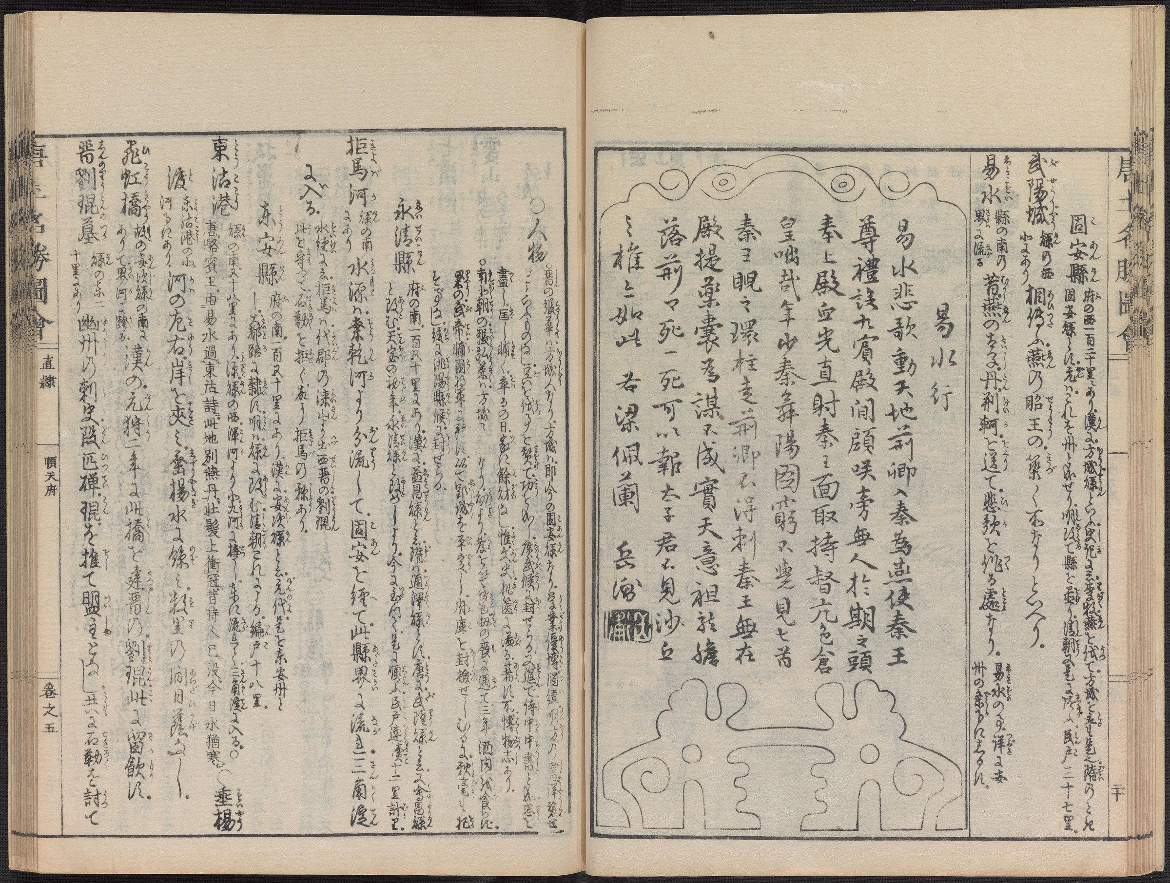
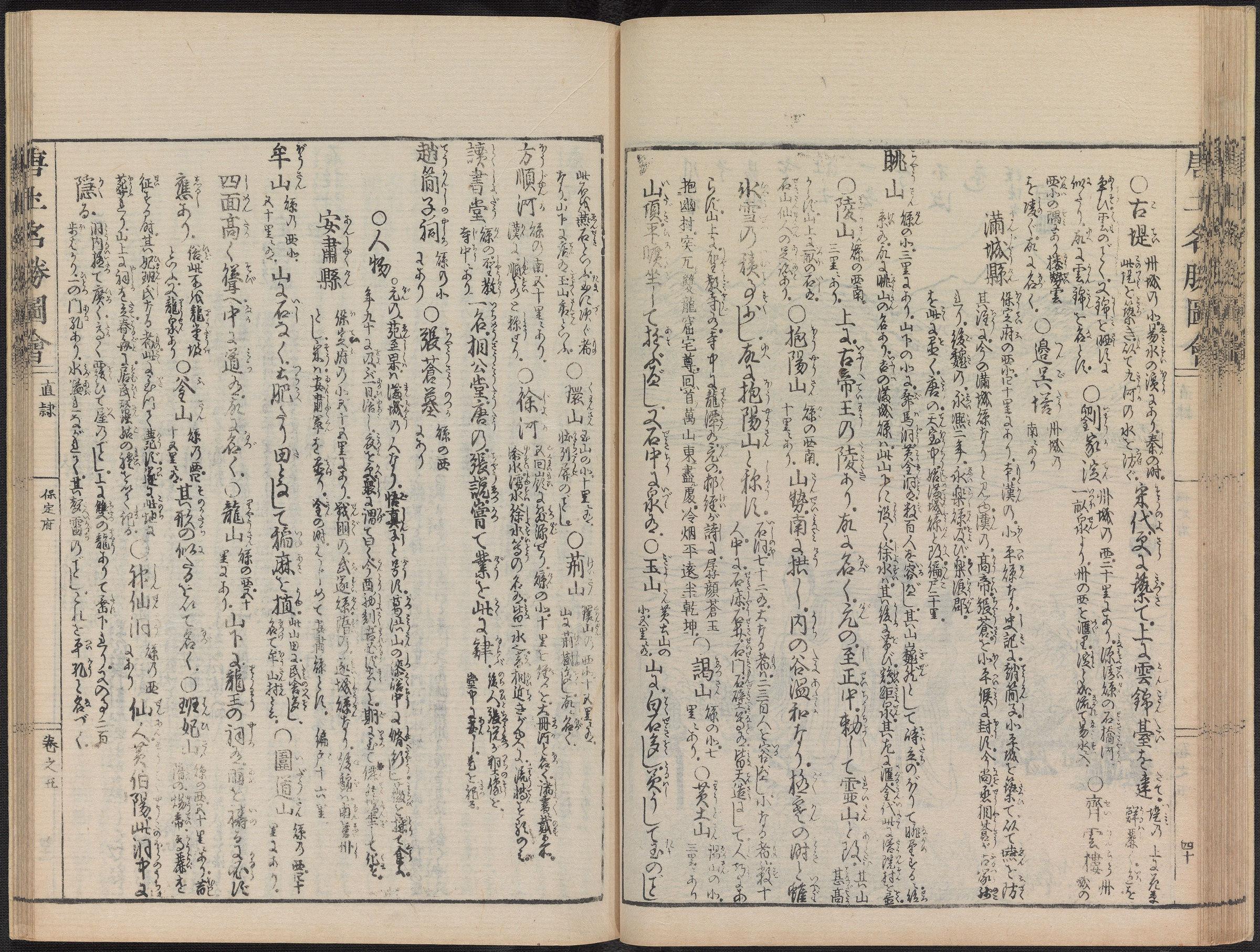
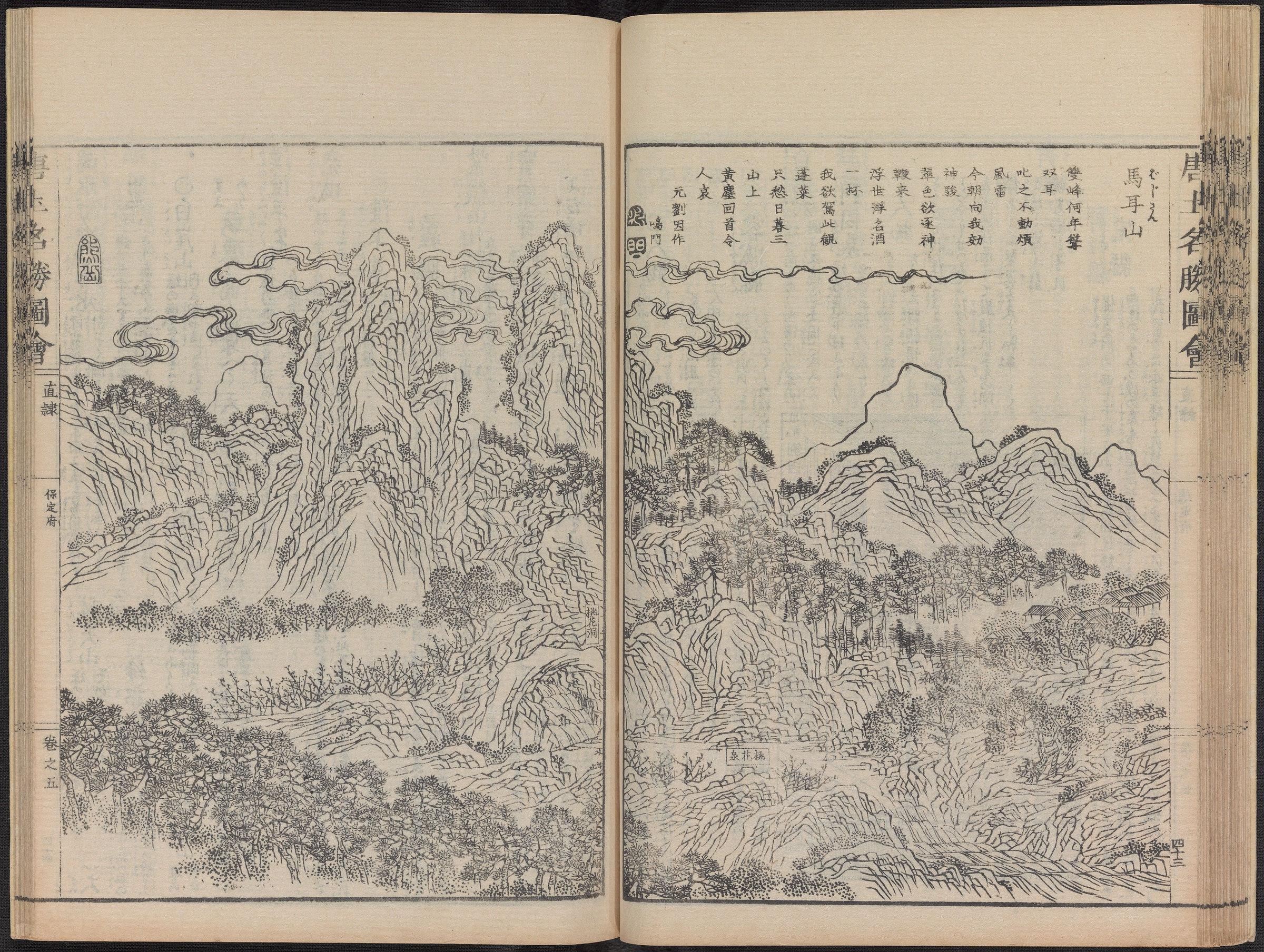
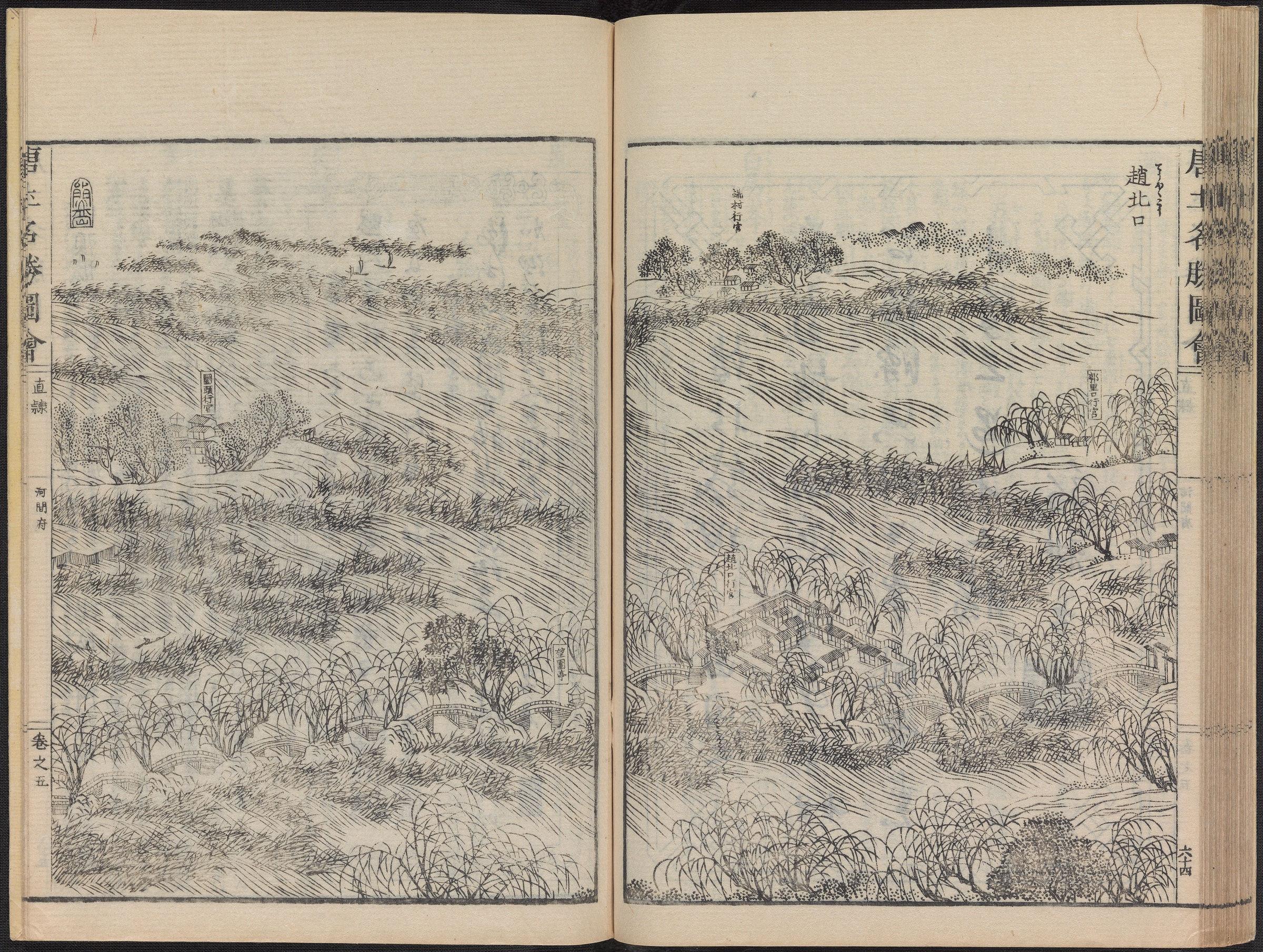
《唐土名胜图绘》也称《唐土名胜图会》,共有六卷,本书第一卷为历代帝都,第二卷皇城,第三卷内城,第四卷外城和苑囿及郊区,第五卷顺天府,第六卷天津府,组成一部描绘北京、河北省和天津的版画集,并附有较为详细的文字记录和说明。前四卷记载京师(北京)的古今沿革、风俗习惯和方位,讲述宫廷、苑囿 记载着清朝乾隆年间紫禁城内殿和外殿发生的各种事情,其中包括了宫廷各种大小会议、宴请、祭祀,皇宫庭院及包括圆明园和其他的宫殿等等,后二卷则以介绍中国地方为主。每卷都有绘图,配以文字介绍,还记载了诗歌和名家书法,描述组成庞大大清帝国的所有省份。
在序言的后面有一张《唐土皇舆全图》,图中不但标有中国大陆领土,还标有一系列岛屿,尖阁诸岛(即中国钓鱼台列屿)是中华帝国领土的一部分, 极其珍贵的历史考证。
冈田玉山(1737-1812),名冈田尚友,字子德,号玉山,是日本大阪当时著名的画师,也是木刻版画家。
1985年7月,北京古籍出版社整理、影印出版了《唐土名胜图会》。
“The Tang Dynasty Scenic Spots Exhibition” is a painting, first collection, consisting of six volumes (6 volumes), compiled by Okada Yushan and others. It was carved in the second year of Japanese culture and was created in the tenth year of the Jiaqing reign (1805).
The “Tang Dynasty Scenic Spots” created by the Japanese in the Qing Dynasty has always been recognized as a very precious map for cultural exchange between China and Japan. A large collection of illustrations depicting the imperial palaces and palace life in Beijing, also known as the encyclopedia of the Qing Dynasty in China.
The “Tang Tu Sheng Tu Hui”, also known as the “Tang Tu Sheng Tu Hui”, consists of six volumes. The first volume of this book depicts the imperial capitals of various dynasties, the second volume is the imperial city, the third volume is the inner city, the fourth volume is the outer city, gardens, and suburbs, the fifth volume is Shuntian Prefecture, and the sixth volume is Tianjin Prefecture. It forms a collection of woodblock prints depicting Beijing, Hebei Province, and Tianjin, with detailed textual records and explanations. The first four volumes record the ancient and modern evolution, customs, and orientation of the capital (Beijing), telling the story of various events that occurred in the inner and outer halls of the Forbidden City during the Qianlong period of the Qing Dynasty, including various court meetings, banquets, and sacrifices, as well as the imperial court courtyards, including the Yuanming Garden and other palaces. The latter two volumes mainly introduce the local areas of China. Each volume has illustrations, accompanied by written introductions, and also records poetry and calligraphy by famous artists, describing all the provinces that made up the vast Qing Empire.
At the back of the preface is a “Complete Map of Tuhuang Yu of the Tang Dynasty”, which not only marks the territory of the Chinese Mainland, but also a series of islands. The Senkaku Islands (Diaoyutai Islands of China) are part of the territory of the Chinese Empire, which is extremely valuable for historical research.
Okada Yushan (1737-1812), named Okada Shangyou, with the courtesy name Zide and the nickname Yushan, was a famous painter and woodblock artist in Osaka, Japan at that time.
In July 1985, Beijing Ancient Books Publishing House compiled and photocopied the book “Tang Dynasty Scenic Spots Exhibition”.


Record记录 Region地理 75P 唐土名胜图会.初集.5卷
历史上的今天 ( 31 ):
- 2023年-02月-16日:Super Nintendo:Alfred Chicken 神鸡艾烈佛
- 2023年-02月-16日:Super Nintendo:Alien vs Predator 异形大战铁血战士
- 2023年-02月-16日:Super Nintendo:Alien 3 异形3
- 2023年-02月-16日:Super Nintendo:Alice no Paint Adventure 爱丽丝画游仙境
- 2023年-02月-16日:Video视频:大变飞机魔术
- 2023年-02月-16日:Video视频:秘书的背影很靓丽
- 2023年-02月-16日:Video视频:在家就可以理长头发
- 2023年-02月-16日:Video视频:黑人的牙齿是真的白
- 2023年-02月-16日:Video视频:汽车品牌的力量
- 2023年-02月-16日:Video视频:好漂亮有没有
- 2023年-02月-16日:Video视频:成年人的世界,你懂的
- 2023年-02月-16日:Video视频:大学生的真实收入
- 2023年-02月-16日:Video视频:阿三多奇迹,真牛逼
- 2023年-02月-16日:Video视频:超级抖胸舞蹈
- 2023年-02月-16日:Video视频:情人节,我抵御住了诱惑
- 2023年-02月-16日:Video视频:情人节床上哭泣的妹子
- 2023年-02月-16日:Video视频:全民好爸爸,金正恩
- 2023年-02月-16日:Video视频:美女与色犬的一瞬
- 2023年-02月-16日:Video视频:妹子太可爱了
- 2023年-02月-16日:Video视频:情人节,垃圾桶与花
- 2023年-02月-16日:Novel小说:云南民间故事集壹 (630P)
- 2023年-02月-16日:Delicious美食:醒园录·中国烹饪古籍丛刊 04 (77P)
- 2023年-02月-16日:Delicious美食:中馈录·中国烹饪古籍丛刊 03 (24P)
- 2023年-02月-16日:Delicious美食:易牙遗意·中国烹饪古籍丛刊 02 (86P)
- 2023年-02月-16日:Delicious美食:云林堂饮食制度集·中国烹饪古籍丛刊 01 (54P)
- 2023年-02月-16日:Skill技巧:50个人物画法 (51P)
- 2023年-02月-16日:China国内合集:各样鱼图册之四 (24P)
- 2023年-02月-16日:China国内合集:各样鱼图册之三 (24P)
- 2023年-02月-16日:China国内合集:各样鱼图册之二 (24P)
- 2023年-02月-16日:China国内合集:各样鱼图册之一 (24P)
- 2023年-02月-16日:News新闻:2月16日,星期四,在这里每天60秒读懂世界! (1P)
可点 ➠ 2024年-02月-16日 ➠ 9 s ➠ ♥ 0