

- Region地理:第八册(清时期)中国历史地图集(142P):2022年-12月-15日
- Region地理:第七册(元 明)中国历史地图集(193P):2022年-12月-15日
- Region地理:第六册(宋辽金)中国历史地图集(131P):2022年-12月-15日
- Region地理:第五册(隋唐五代)中国历史地图集(150P):2022年-12月-15日
- Region地理:第四册(南北朝)中国历史地图集(108P):2022年-12月-14日
- Region地理:第三册(魏晋)中国历史地图集(91P):2022年-12月-14日
- Region地理:第二册(秦汉)中国历史地图集(101P):2022年-12月-14日
- Region地理:第一册(先秦)中国历史地图集(92P):2022年-12月-14日
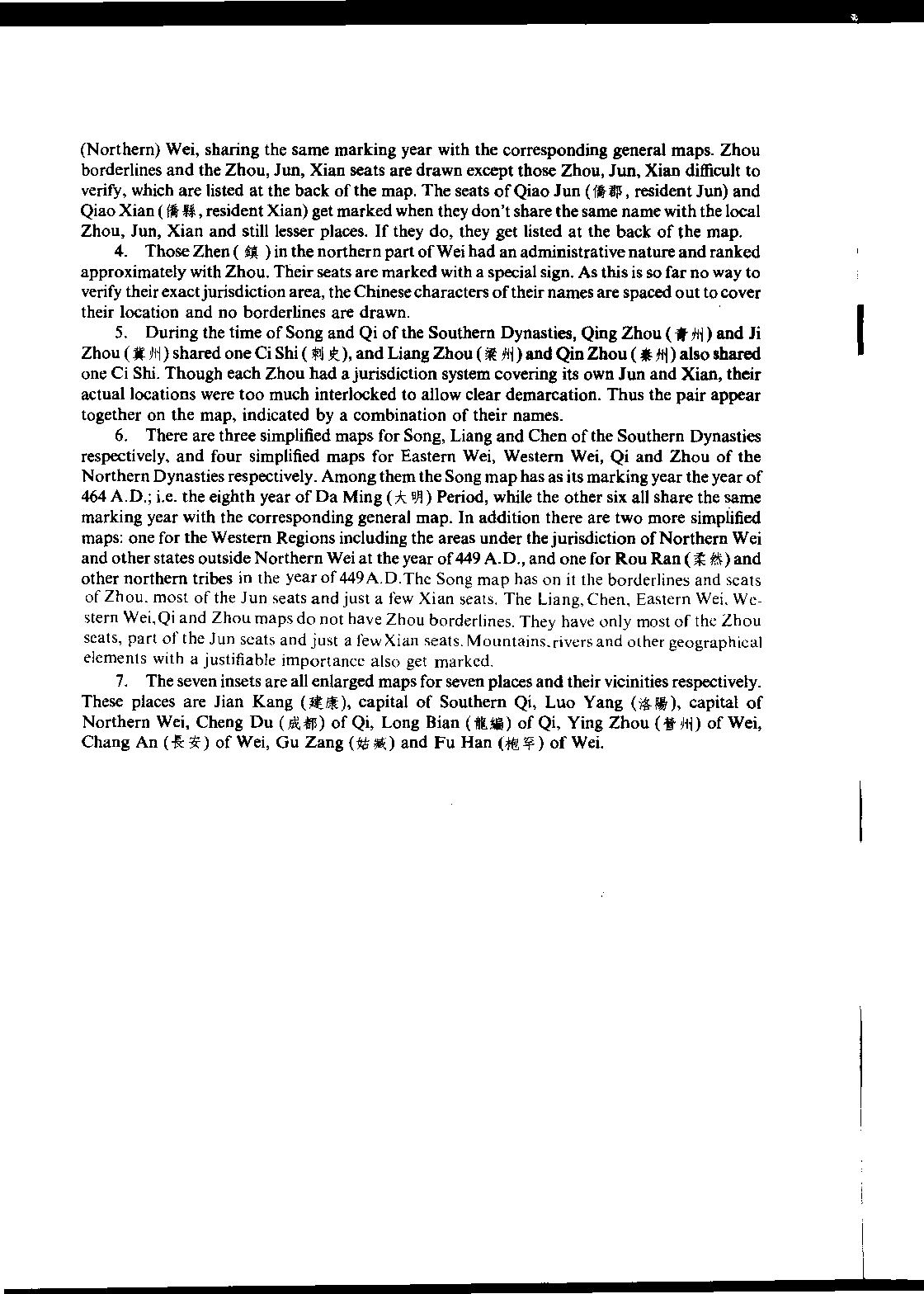
《中国历史地图集(1-8)》按历史时期分为8册:第一册:原始社会·夏·商·西周·春秋·战国时期;第二册:秦·西汉·东汉时期;第三册:三国·西晋时期;第四册:东晋十六国·南北朝时期;第五册:隋·唐·五代十国时期;第六册:宋·辽·金时期;第七册:元·明时期;第八册:清时期。 按年代分为20个图组,共有304幅地图(不另占篇幅的插图不计在内),549页。地图上的内容包括:已知原始社会遗址和其他时期重要遗址的分布,中国历史上各民族建立的政权的疆域政区或活动范围、民族分布,秦以前见于记载的全部可考地名,自秦代开始全部县以上地名、一二级政区的界线,可考的长城、关津、堡寨、谷道、陵墓、庭帐等,主要的河流、湖泊、山岭、海岸线、岛屿等,共收地名7万多个。各册均有中、英文的编例和地名索引。
The Historical Atlas of China (1-8) is divided into eight volumes according to historical periods: Volume I: Primitive Society · Xia · Shang · Western Zhou · Spring and Autumn · Warring States Period; Volume II: Qin, Western Han, Eastern Han Dynasty; Volume III: Three Kingdoms · Western Jin Dynasty; Volume IV: The Sixteen Kingdoms of the Eastern Jin Dynasty and the Northern and Southern Dynasties; Volume V: Sui, Tang, Five Dynasties and Ten Kingdoms Period; Volume VI: Song, Liao and Jin Dynasties; Volume 7: Yuan and Ming Dynasties; Volume 8: Qing Dynasty. It is divided into 20 map groups by age, with a total of 304 maps (excluding illustrations that occupy no additional space), 549 pages. The contents on the map include: the distribution of known sites of primitive society and important sites in other periods, the territorial administrative areas or activities of the regimes established by various ethnic groups in Chinese history, and the distribution of ethnic groups, all the names of places that can be examined before the Qin Dynasty, all the names of places above the county level, the boundaries of the first and second level administrative areas since the Qin Dynasty, the Great Wall, Guanjin, fortresses, valley roads, tombs, court tents, etc. that can be examined, and the main rivers, lakes, mountains, coastline Islands, etc., received more than 70000 place names. Each volume has Chinese and English catalogues and place name indexes.


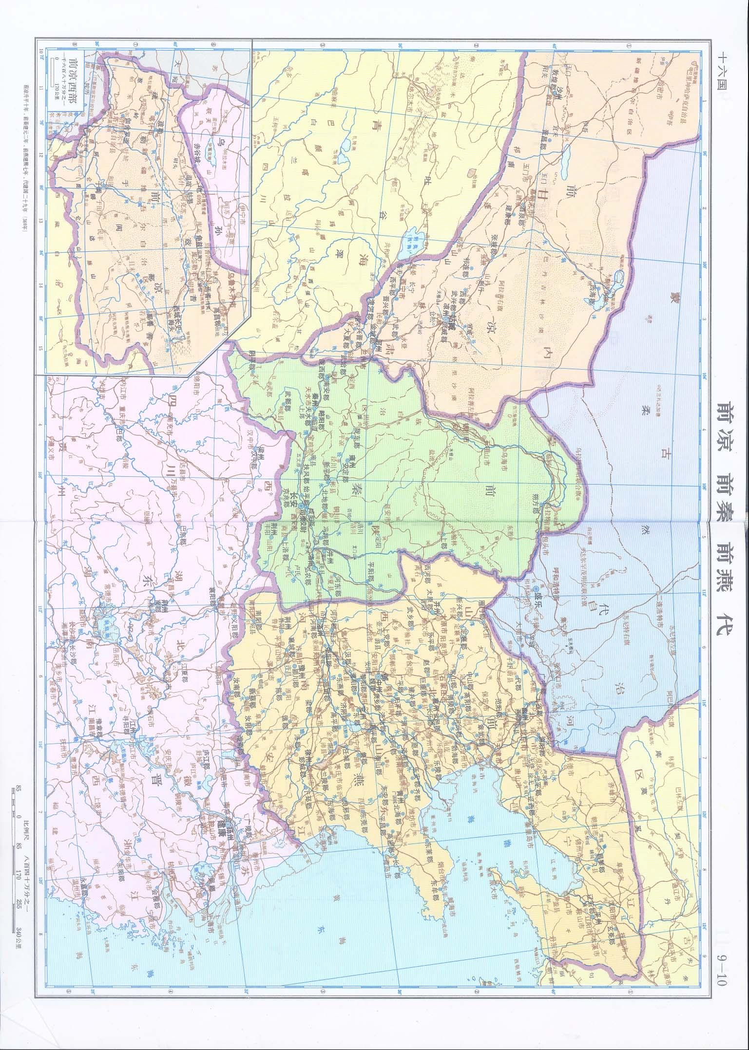


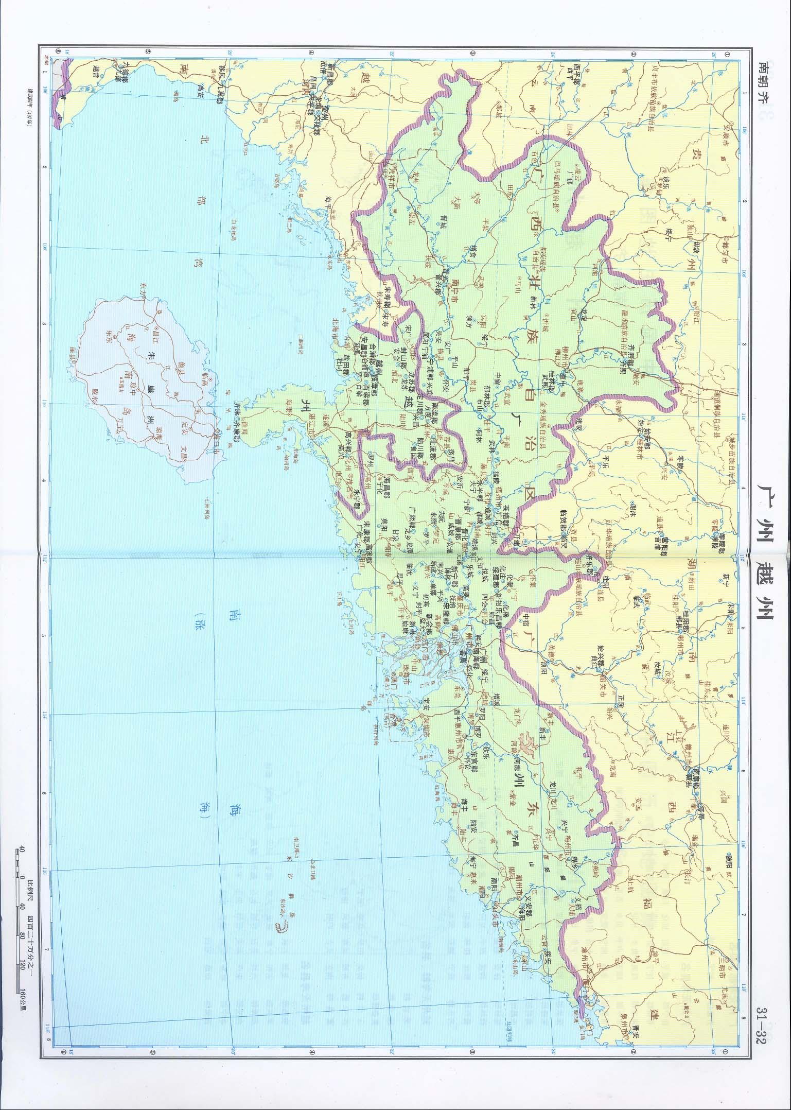


Record记录 Region地理 108P 第四册(南北朝)中国历史地图集
历史上的今天 ( 6 ):
- 2023年-12月-14日:Marvel漫威:毒液V4 2018 (76P)
- 2023年-12月-14日:Memory记忆:Chinese cormorant fishermen in 1946 中国鸬鹚捕鱼的渔夫1946年 (7P)
- 2023年-12月-14日:Memory记忆:The Yellow River Huayuankou Dam in Zheng County, Henan Province, China, 1946 中国河南郑县 黄河花园口决堤处·1946年 (11P)
- 2023年-12月-14日:Memory记忆:Fushun, China, 1946 中国抚顺·1946年 (37P)
- 2023年-12月-14日:Memory记忆:China Benxi in 1946 中国本溪1946年 (6P)
- 2023年-12月-14日:News新闻:2023年12月14日新闻简报(国内国际)
可点 ➠ 2022年-12月-14日 ➠ 43 s ➠ ♥ 2